Brilworks


Aetrova · SouthWatch
01 / 04Aetrova · for NASA Space Apps Challenge2026
Aetrova · SouthWatch
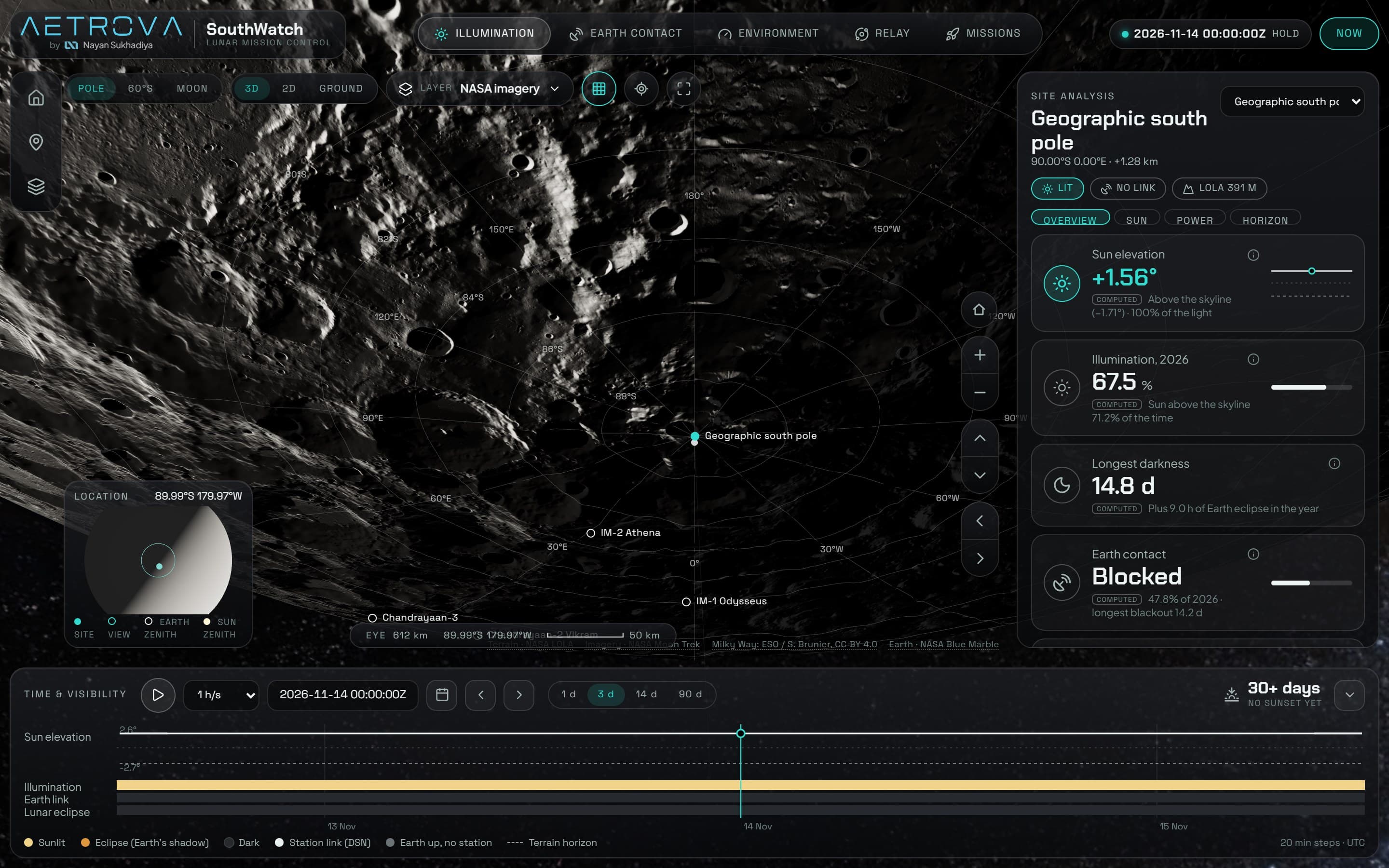
Mission control for the Moon's south pole, computed from real NASA terrain.
SouthWatch answers a landing planner's question: at this spot near the lunar south pole, when is there sunlight, when can you talk to Earth, and how sure are we? Real LOLA elevation, NASA Moon Trek imagery and orbital maths run live in the browser, and every number is tagged measured, computed or modeled.
- Brand
- UI design
- 3D + physics
- Data pipeline
0.25°
horizon-mask resolution, finer than the Sun's disk
39
real NASA Moon Trek data layers
108
automated tests on the physics


- three.js
- Web Workers
- Python